Digitising the Streets of Toronto with AI-powered Curb Mapping
AI+Lighting: How SenSen and Raytec helped Toronto Parking Authority digitise its curb space for smarter parking and policy decisions.
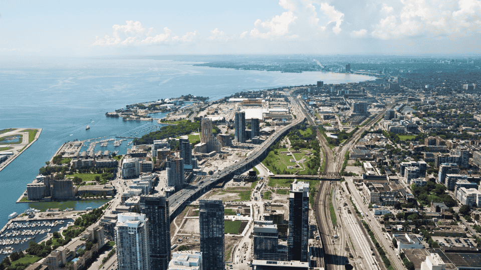
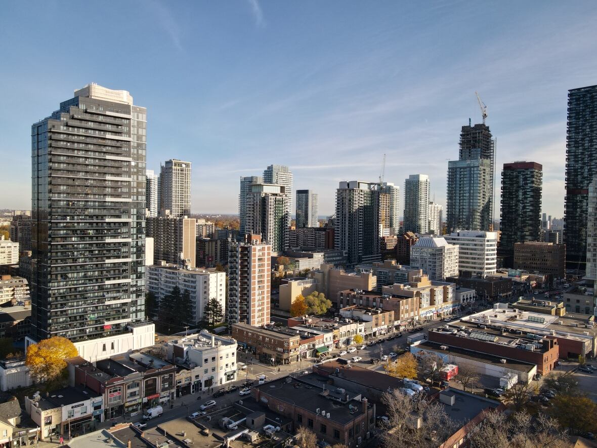
In the heart of Toronto, where winter temperatures regularly plunge to below freezing, and street conditions change dramatically between seasons, Canada’s largest city faced a persistent challenge: how to efficiently digitise and manage street-level parking assets across a sprawling urban landscape.
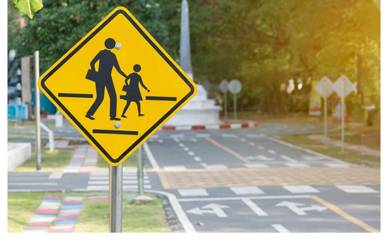
Curb management – how cities allocate and monitor curbside space for parking, drop-offs, deliveries, or EV charging zones – traditionally relied on manual audits and inspections that were labor-intensive, inconsistent, and increasingly unable to keep up with the dynamic nature of Toronto’s streets.
Today, the city’s Al-powered system collects more curbside data in a single drive-by than what used to take hours of manual inspection, transforming how Toronto plans, enforces, and adapts curb use in real time.
To achieve this, SenSen, a global leader in Al-powered smart city solutions, partnered with Raytec, specialists in advanced illumination technology. Together, we delivered a mobile, Al-based system capable of capturing accurate, high-resolution curbside data, regardless of lighting or weather conditions. Following implementation, the solution continues to deliver value to Toronto and inspire similar initiatives globally.
The Challenge: Achieving Real-Time Curb Visibility
Toronto sought to modernise how it captured and maintained data about its parking infrastructure. The city needed to shift from periodic manual assessments to a system that could deliver continuous, real-time visibility into on-street assets such as:
- Signage and parking regulations
- Parking stall dimensions and configurations
- Temporary changes like construction zones or closures
- Curb use cases including EV charging, deliveries, and accessible parking
To meet this demand, the solution would have to perform reliably in extreme environmental conditions, and capture critical visual data while vehicles moved at normal traffic speeds.
Key technical challenges included:
- Extreme weather conditions require technology that could function reliably in temperatures as cold as -20°C and ultimately anywhere as low as -50°C when applicable
- Variable lighting conditions throughout the year, with short winter days and long summer evenings
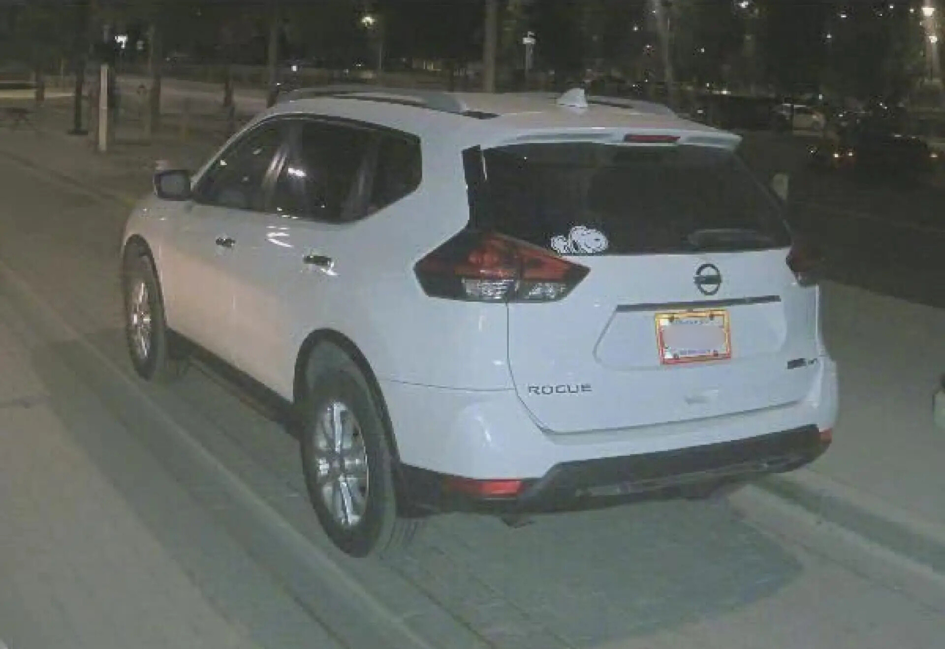
- Non-reflective license plates that proved difficult to capture clearly, especially in lowlight conditions
- Power limitations as all systems would need to operate from standard vehicle electrical systems
“This wasn’t just about digitising the curb, it was about building a system that sees and understands street-level infrastructure dynamically,” said Ben Pisch, SenSen Vice President of Clients and Markets (North American Division). “We needed technology that could capture accurate visual context in real world conditions, and do it consistently, year-round.
The Innovation: Light as the Critical Factor
After extensive testing of mobile sensing systems, SenSen uncovered a core insight: the limiting factor in mobile street asset detection wasn’t the AI or cameras, it was the quality of illumination.
“We required reliable images day and night, across all types of street and weather conditions,” Pisch said. “Before Raytec, large scale mobile curb digitisation in low light and at speed was virtually impossible. Now, there are no limitations. You don’t know what you can do until you can see what you can do.”
The breakthrough came with the adoption of Raytec’s W2 Illuminator technology. Unlike systems that relied on infrared light – often insufficient for identifying signage or curb features – Raytec’s white light illuminators provided several crucial advantages:
- Mobile readiness for high-speed vehicle mounted cameras
- Exceptionally low power draw
- High-intensity, uniform diffusion to capture contextual curbside detail
- Proven performance in temperatures as low as -50°C
“What made Raytec unique wasn’t just their lighting quality,” said Pisch. “It was their understanding of how light interacts with moving optics, and their ability to fine-tune that light to our very specific use case.”
The Implementation: Digitising the Streets of Toronto
SenSen integrated Raytec’s illuminators into its proprietary SenFORCE system, to apply real-time curb mapping and data capture. Mounted on vehicles moving at traffic speed, the system is capable of:
- Documenting the location and state of parking signs
- Identifying physical curb assets such as meters and stalls
- Capturing contextual details like obstructions, construction, or temporary signage
Each frame captured by the vehicle contains layered data points that feed into the city’s digital map of its curb inventory, ensuring Toronto has a living, responsive view of its street assets.
“When we paired Raytec’s lighting technology with our AI systems, we discovered we could extract more useful street-level data in a single drive-by than what used to take hours of manual inspection,” Pisch said.
Installation was straightforward: all components were designed to run off vehicle power, making deployment across the city fleet seamless.
The Results: Scalable Street Intelligence
The system has now been in continuous use, delivering measurable benefits:
- Digitised curb inventory at city scale
- Real-time updates of asset conditions and changes
- Higher operational efficiency through automation
- Support for dynamic policy-making based on accurate curb data
- Year-round performance across all weather and lighting conditions
“We’re pleased with the partnership with SenSen for our asset management project. In particular, we are impressed with the effectiveness of their technology in both high and low light conditions,” Faiyaz Patel, Director of Parking Development, Toronto Parking Authority, said. “It’s a true example of how targeted technology partnerships can solve complex operational challenges at scale.”
What began in Toronto is now being adapted in cities globally – from Airport perimeters to urban canyon environments, where accurate, contextual street-level imaging is required.
Beyond Parking: Broader Smart City Applications
Though developed for curb digitisation, the same SenSen-Raytec platform is now being applied to:
- Monitoring EV charger infrastructure for damage or misuse
- Tracking changes in signage or road conditions
- Supporting urban planning with accurate digital maps
- Enhancing real-time visibility in public spaces
“Toronto challenged us to build a mobile system that sees the city as it truly is, in all conditions,” Pisch said. “That challenge turned into a global standard for AI-powered street intelligence.”
One area where the partnership between Raytec and SenSen has been particularly compelling for other cities across Canada has been in enforcement. Operating flawlessly through sub-zero temperatures, limited daylight, and challenging license plate visibility, the ability to capture high-quality, verifiable evidence at speed and in all weather has not only improved consistency in bylaw curbside enforcement but also significantly expanded coverage and reduced operational strain on personnel. What began as a tailored response to one city’s unique climate and infrastructure challenges has become a national model for next-generation enforcement.
The Future: Scaling Smart Infrastructure
As cities seek to maximise mobility and asset use, Toronto’s implementation stands out as a global benchmark for smart curb management. The SenSen-Raytec partnership shows that with the right combination of Al, optics, and lighting, even the most dynamic environments can be digitised and understood in real time.
In a world where cities demand more from every metre of curb space, the ability to see clearly, regardless of weather, lighting, or time, is the foundation for smart mobility. Toronto is a pioneer of delivering to that vision.